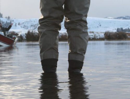
“The charm of fishing is that it is the pursuit of what is elusive but attainable, a perpetual series of occasions for hope,” wrote John Buchan, a Scottish writer and former Governor of Canada. The sentiment still rings today when an angler plans a trip or makes that first a cast. The hope of another fish, a first fish, a bigger fish, or the hope the day may never end are all reasons to fish. Do not let these opportunities of hope pass because of not knowing where to go fishing. Places to fish are a lot closer than you might think. The features of onWater will help you find rivers near you for fishing.
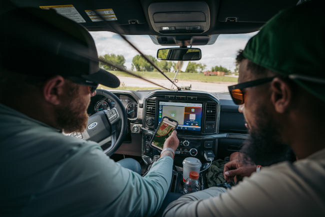
If you’re like many anglers, choosing where to fish each day can feel intimidating. Maybe you don’t know of any public access areas. Perhaps you are unsure which rivers might be at a safe stream flow or river gauge height to fish effectively and safely. You may be unaware of a nearby fly or tackle shop that has up to date fishing reports. Planning your fishing should actually be part of the fun and not the frustration. onWater puts the latest mapping and data technology in your hand.
For experienced anglers, with onWater you decide what you want to know and bypass what you already know. For inexperienced anglers or those new to an area, the tools in onWater allow you to plan accurately, guess less, and fish more.
Here are a few tips on How to Find Rivers Near You for Fishing.
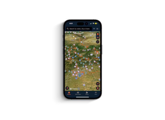
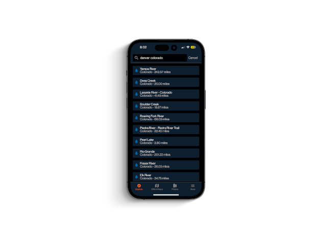
Search by Map or by Name
The search feature in onWater allows you to find waters via map view or a list view. Using Map View you can explore waters around your exact location or search for waters far away. Using the Search bar you can type in the name of a river. Maybe you read about the river in a report or saw someone’s post on Instagram but do not know the location or any nearby areas. Type it in, tap on the river, and start exploring.
Scroll the River Description, Weather, and Streamflow Data
Our map curators and data technicians have compiled all the important information about a water body and put it in onWater. If you’re looking for a small freestone, a large tailwater, or a lake, our written river descriptions provide a detailed narrative of what you can expect. Keep scrolling and you will find real-time weather and streamflow information as well. In case you don’t think checking those ahead of time is valuable, you’d get along well with Hank Patterson.
Read Local Fishing Reports
Weather and streamflow information is vital for planning your fishing. Be sure to get accurate information about hatches, patterns, closures, and more. Use onWater to check and read local fishing reports. Want to know if a certain section has good dry fly fishing? Tap and read the report. Saw a social media post about big fish on the prowl? Verify it by calling a fly or tackle shop in the area, and if you can, stop in and support them.
Use our Public and Private Property Parcel Layer
Whether floating and fishing or walking-and-wading, knowing where you stand or knowing how to access a water body is crucial. Because stream access laws and public/private property boundary laws vary from state to state, angling success can sometimes be tied to knowing your local laws. With each river is a description of relevant stream access laws, but more important than that is our Public/Private Property Parcel Layer. With a tap you know the exact location of where you stand and if you have the right to be there.
From planning a few hours of fishing close to home or a few days to disconnect from it all, the tools in onWater give you the confidence to fish on. Discover more helpful articles below and on our Instagram.