The best fishing days rarely just happen. Being in the right place at the right time is the result of proper planning. A little luck sprinkled in never hurts, but knowing what tools exist before loading up the truck and heading to a fishing spot is the key to better fishing. One of those often overlooked tools is streamflow information.
From onWater’s own Director of Operations, Shalon Hastings, here are some helpful tips to use streamflow data to help plan better fishing. Be sure to read the entire post and don’t end up like Hank Patterson.
Tips to Use Streamflow Data to Help Plan Better Fishing
by Shalon Hastings, onWater’s Director of Operations
When I first got into fly fishing, I had no concept of stream gauges or that stream measurement devices existed out in the wild. Decades later, I rarely plan going fishing without checking streamflows by using onWater.
Stream Data Can be Used to Know What to Fish or Where to Float
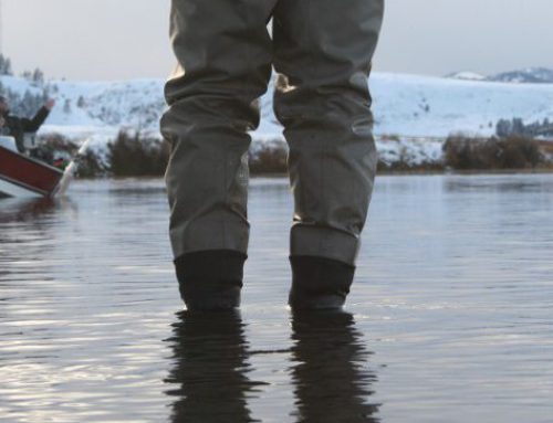
In the spring I look at them often when runoff and heavier rains will impact flows. High or rising flows may affect my sense of safety and the worthiness of making a trip. If a stream’s relative flow is blasting away due to big runoff, I’m not going to make the trip. On the other hand, if it’s simply elevated, I’ll ensure that I have plenty of patterns to fish the slightly muddied waters, perhaps a worm or Woolly Bugger.
On my home river, the Missouri River below Holter Dam, streamflows can also determine what float I am going to do. If the Dearborn River, a tributary of the Missouri River, is raging and running muddy, I will not float below the confluence of the Dearborn and Missouri Rivers. I can check all of this from my phone before leaving the house.
Use Streamflow Charts to Check Water Temperatures
Many of the streamflow gauges also incorporate water temperature gauges as well. There are two implications of water temperature when planning my fishing. During the heat of summer, if water temps are above 67 degrees F, I don’t fish for trout. I might use onWater to seek out new places to fish that might have species other than trout.
Sometimes, a state or federal fisheries agency may even close waters to fish. In Montana, we have what is called Hoot Owl closures. These are put into place on a river that exceeds a water temperature of 73 degrees F over a consecutive three day period. A Hoot Owl closure means fishing cannot occur after 2 PM.
Knowing accurate water temperatures can also give insight as to when a hatch may occur. Different bugs hatch at different water temps, so I will use onWater to watch water temperatures on a favorite water body. I will also track weather such as overcast skies or rain. If water temperatures and forecast all look to be aligning, then I will make a concerted effort to get on the water if a hatch is imminent.
Who is Responsible for Streamflow Stations and How to Ensure They Remain
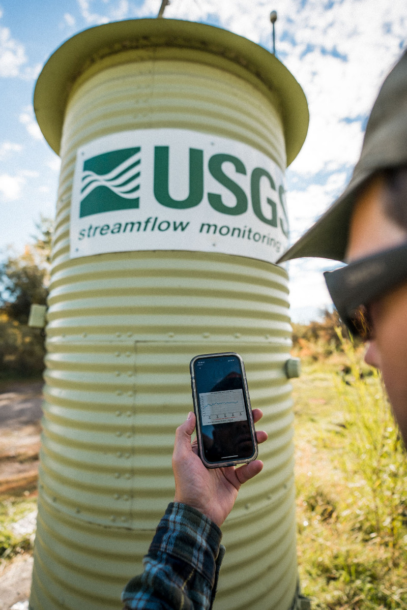
There are several agencies that maintain flow stations. United States Geologic Service (USGS) is one of the better known providers, but they are not the only one. NOAA, state and local government agencies, and non-profit organizations also maintain streamflow sites. Since the majority of stations are USGS, let’s talk about USGS flow stations.
USGS maintains over 11,800 stations across the United States, District of Columbia, and Puerto Rico. A station can cost between $20,000 and $35,000 to create and takes up to $16,000 per year to operate. The primary purpose of these stations was for communities to observe flooding implications and for nonprofit organizations to continue observance of stream health. Because the cost to operate a single flow station is significant, there are flow stations that have been removed.
On occasion, a flow station’s existence may be threatened by lack of funds to maintain it. USGS will post a notice that the flow station will cease operation at a future date. Don’t hesitate to reach out to USGS and let them know that the station is important to you. Work with local non-profits such as your Trout Unlimited chapter to champion that flow station. USGS needs to hear that it is a valued station.
If you’d like to geek out on the details on how a station actually works, check out this resource at USGS.gov, What is a stream gauge? | U.S. Geological Survey (usgs.gov).
Knowing the streamflow, and what its trend, is a key component of knowing when and where to go fishing. With onWater you can check streamflows on waterbodies across the country or near you.
But, you don’t have to take our word for it…or Hank Patterson’s.