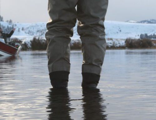
Planning the perfect fishing and floating trip requires a plan. Whether floating and fishing a familiar river or a river new to you, knowing the distances between put-in and take-out is crucial. Information about the distance between points of interest is important to maximize fishing time, to ensure you get home safely, and to have an enjoyable time on the water. With onWater’s features you can plan the perfect float trip using distance calculation.
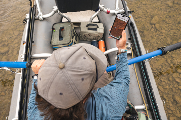
Whether you are planning a short float on a mountain trout river or an overnight trip chasing smallmouth, you must know the length of your float Paper maps require a large amount of effort and distances may not be exact. Using onWater’s Distance Calculation tool, with a few taps of the your finger you can know the exact mileage immediately.
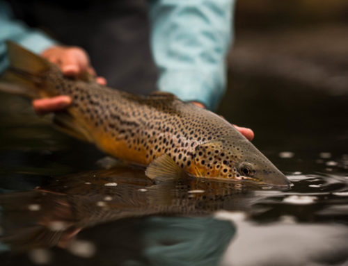
The onWater Distance Calculation tool works for any point of interest, not just boat ramps. Whether planning a multi-day floating and camping trip on Montana’s Smith River, Colorado’s Gunnison, or Oregon’s John Day, having onWater is essential.
“Several years ago my son missed a boat ramp and it could have been fatal.” says onWater CEO and co-found Scott Carver. “We created onWater so every angler can float and fish with confidence. And huge part of fishing with confidence is having a good plan based on accurate information.”
Be sure to read onWater fishing blog posts to plan better and fish smarter.
Three Ways Topo Maps Help You Find More Fishing Spots