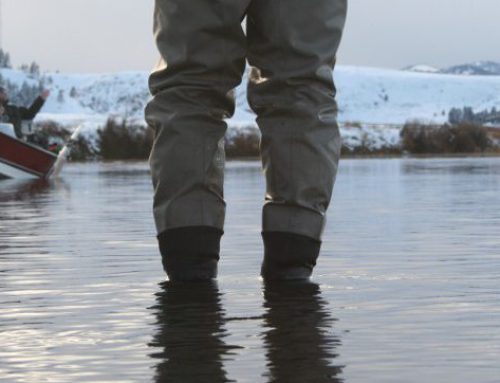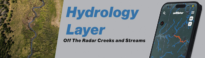
Desiring new places to fish? Ever wonder about the little creek you keep driving by? Day dreaming of fishing? Discover a whole new way to fish and explore with our latest feature. Our new Hydrology Layer showcases hundreds of thousands of creeks, rivers, and streams. E-scouting and “blue-lining” is a quick and easy way to help you find places to fish near you with onWater and our hydrology layer.
How to Use onWater’s Hydrology Layer
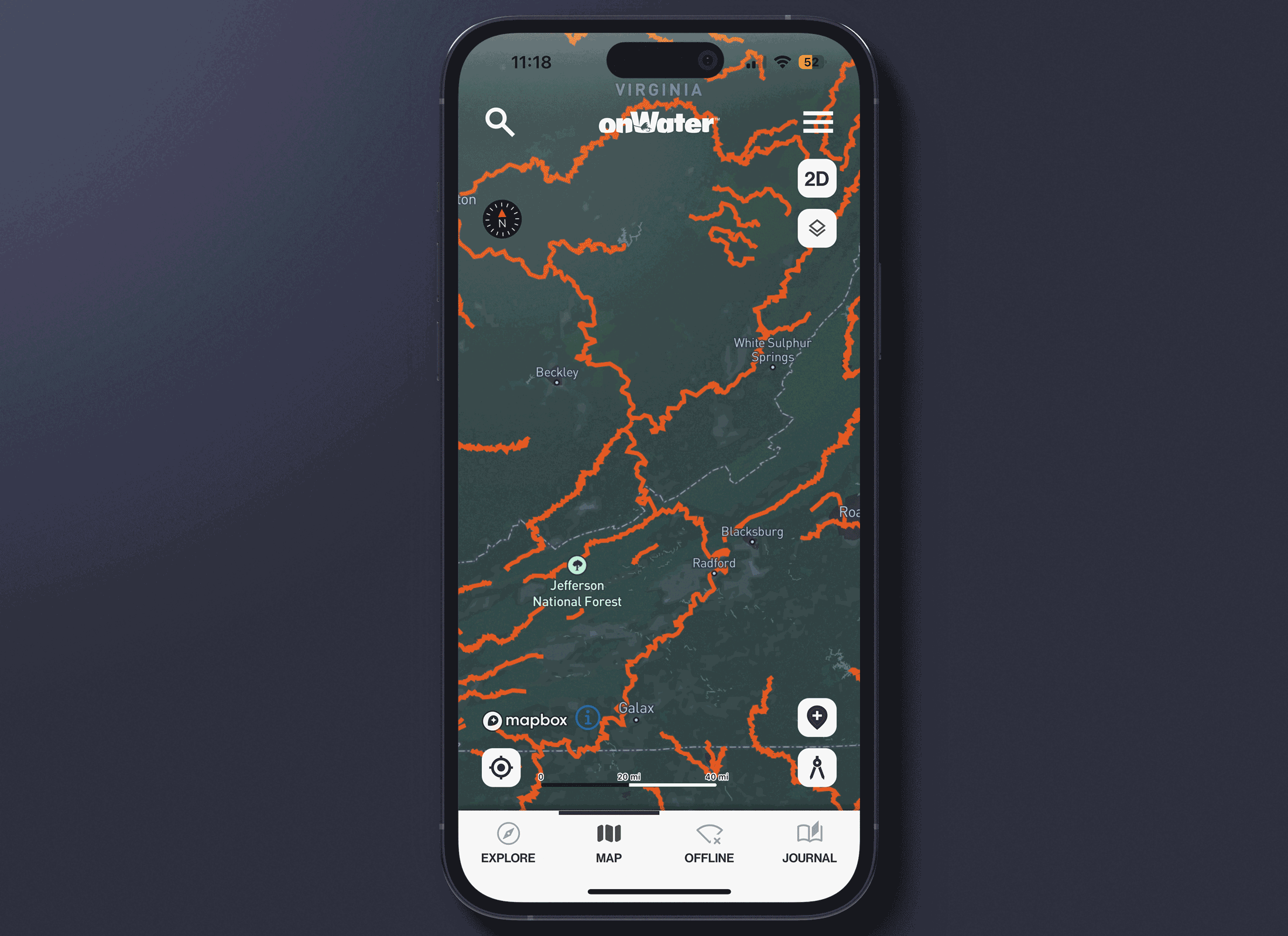
- Open a waterbody map by tapping on View Map + Points of Interest.
- In the upper right corner, tap the Layers Icon.
- Slide up the bottom drawer.
- Tap Hydrology Layers.
- Watch your map light up with blue lines. These are rivers, creeks, and streams that are ready to be explored.
E-Scout New and Off the Beaten Path Waters with our New Hydrology Layer
Using our new technology, finding fishing spots rises to a whole new level. Scout a variety of rivers, creeks, and streams near you for fishing. Take your exploring further by enhancing your map with 3D view, My Places, and saving maps for offline use.
Discover More Ways to Fish Smarter
Be sure to read onWater fishing blog posts to plan better and fish smarter.
Three Ways Topo Maps Help You Find More Fishing Spots