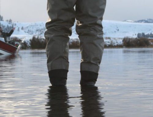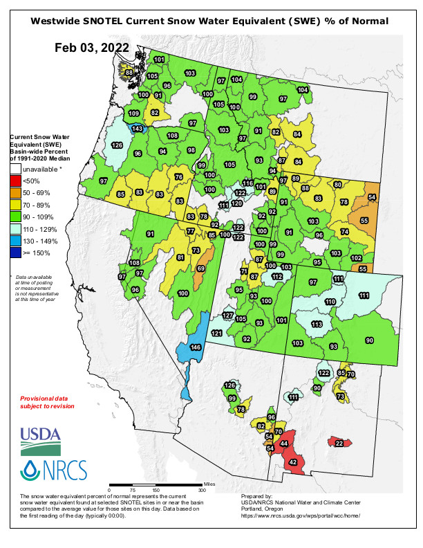
What a difference a month makes in our Western US snowpack map! Although current snowpack across the West isn’t bad, it isn’t great either. Akin to getting a participation ribbon instead of a first place ribbon, the snowpack across the West has “lots of opportunities for growth.” So, keep hanging in there for the good news to drop…in the form of fluffy white stuff.
The most important take away from the past 30 days: things can, and do, change quickly.
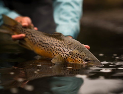
Parts of Colorado, western Montana, north-central Idaho, and the Oregon coastal range are the current bright spots. If a few big storms roll trough southwestern Montana and Wyoming, the map looks that much better. The rivers and creeks such as the Yellowstone River and Henry’s Fork of the Snake that have headwaters in those areas will be in good shape. Plus, summer fly fishing in Yellowstone National Park will benefit.
To get western US snowpack updates and data in your local watersheds you can always contact your local fly shop or use this interactive tool from the USDA Natural Resources Conservation Service’s National Water and Climate Center. The interactive tool allows you to pinpoint a location or drainage and get real-time data. This can be helpful if you know what to look for–things like snow water equivalent, specific site locations, etc. If that still sounds like TMI, a phone call or visit to your fly shop might offer some insight as well.
If you need something to continue to whet your appetite for spring and summer fishing, visit our YouTube page.
Keep doing those snow dances to increase our western US snowpack. All of us at onWater do them often so a little help is encouraged.
And, just in case you were wondering what some folks do when they can’t fish.