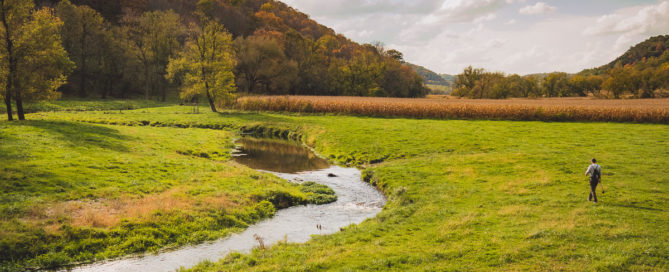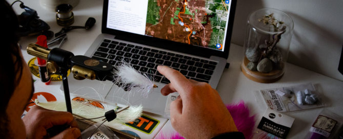
5 Ways Satellite Imagery Helps You Find More Fish
Since the creation of satellite imagery, anglers have been using it to find new waters, and to get a better understanding of the ones they're already familiar with. However, there is more to it than simply looking at an overhead view of the water. You can learn a lot about a fishery from an aerial [...]